Written by our expedition leader Aaron Byrne, an expedition leader on numerous expeditions for Earth’s Edge. Aaron has 20 years experience on mountains all over the world. Here Aaron lists out some of the best Wicklow training hikes to get you in top shape for your expedition!

Planning your training hikes
So, you’re planning a trekking holiday or an expedition to a high range with Earth’s Edge this year? Guess you had better get in shape and prepare those legs for your adventure then!!
So, what is the best type of preparation you can do for a trekking holiday? You’ve guessed it in one; get out there and climb a few mountains!
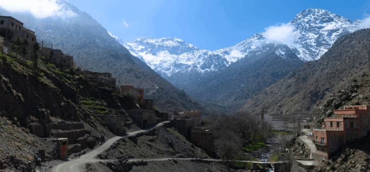
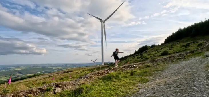
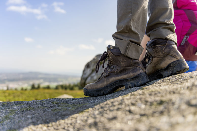
In Wicklow, we don’t exactly have the highest mountains in the world but we do have plenty of routes we can train on and we certainly have the wilderness you need to help you prepare fully for trips to the highest ranges.
You might consider a night of camping if you have never camped before and certainly camping in Wicklow is accessible and easy to plan.
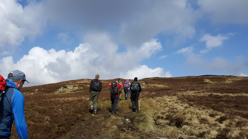
Here are a few routes to get you started but these are just a snapshot of what you can do in Wicklow. It might be just what you need to get the ball rolling. A word of caution, there may be some navigation required in these suggested routes and some if not all of these routes will not be marked or signposted for you.
Remember that weather can close in fast and visibility can deteriorate fast. Be comfortable in your compass work and navigation skills before setting out. Some of the route descriptions given here are general and are not detailed enough to use for navigation. Ability to use a map and compass is assumed.
With all of that said, let’s get into the best Wicklow training hikes!
All routes are on OS map Sheet 56.
The Kili Pole Pole
Start and Finish Glendalough Upper Lake car park – GR112964
This is a great route for testing your technique of rest stepping which will be used a lot on summit day on Kilimanjaro.
Start at the upper lake car park gate and go directly across the road to find a very steep path that goes NW towards Camaderry mountain. For the next 500m, you will gain approximately 200m in height on a steep path leading to the shoulder of Camaderry.
Take your time to practice the rest step here, it feels a little unnatural at first but it is a serious energy saver over a 12-hour summit day.
When you reach the shoulder, you will head west at first following the spur which eventually heads to the NW towards the summit of Camaderry. You are now at approximately 700m so will have gained 560m. This part of the route is about 3km and should take you about 90 mins.
From here, continue NW towards the reservoir and take the sealed road down to the Wicklow gap to connect with St. Kevin’s Way. This is a waymarked trail that will bring you back down to Glendasan Valley and the Glendalough Hotel.
From here, you can make your way through the cemetery and on to the Green Road that leads you back to the Upper Lake, going past the Lower Lake whether on the boardwalk on the north side of the lake or the green road on the south side of the lake.
Total distance: approximately 14km
Height Gain: 600m
Estimated Time: 5-6 hours including breaks
Itchy Machu Picchu
Start and finish Glendalough Upper Lake car park GR112964
Aptly named for a couple of reason – steps and midges. If you’re going to Machu Picchu, you need to prepare for both although mosquitoes are more commonly found there.
Start off on the trail opposite the Information Centre at the lake by crossing the bridge and follow the signs for the White Route which leads to the Spinc. Here, you will come across the first set of steps made of railway sleepers. Steps can be your friend or enemy as they don’t always fit your stride and hence they take over your stride.
This can be frustrating compared to a steep slope where you are in control of your stride. Apparently, there are about 900 steps on this route, not quite as many as Machu Picchu but you can always do it two or three times!
Follow the steps all the way to the first viewpoint with stunning views of the valley below and both lakes. Stay on the sleepers along a flat section before the next set of steps, you will then pass the Blue Route signs on your left at the bottom of these steps.
Continue up these steps until you come to the Red Route to your left. This will take you SW towards the saddle between Mullacor and Lugduff. This is the intersection of the park routes and the Wicklow Way as it heads to Glenmalure. When you reach the saddle head SE to the summit of Mullacor and down the other side to the saddle of Mullacor and Cullentragh.
On the saddle, a path will lead you NE towards Derrybawn Mountain. Just off the summit a narrow path leads you NW down the face of Derrybawn and back down to the forest paths and towards the upper lake car park. Look out for a sign for the Pink Route which brings you back right in front of the Information Centre.
Total Distance approximately: 10km
Total Height Gain: 550m
Estimated Time: 4-5 hours including breaks
Glug Glug on Lug
Start and Finish Baravore Car Park Glenmalure – GR065942
Getting closer to your trip you should try a long day and this route is a good start. Longer days require a bit more planning and preparation and more weight to carry. You should always try to stay well hydrated on all days out but on longer days that means carrying more weight.
It is a proven fact that hydration and altitude sickness are bedfellows and staying well-hydrated assists in your acclimatization on the bigger mountains. You’ll need to drink between 4 and 6 litres a day to stay properly hydrated.
From the car park cross over the footbridge 50m upstream and onto the gravel path. This leads all the way to the back of the valley in an NW direction.
Just past the hostel, stay right and climb up the gently rising forest track which will bring you onto the saddle between Table and Camenabologue. This part will take about an hour and is the last of the forest track for a while. It is, in fact, an old military road that connects Glenmalure to Glen of Imaal.
Navigation is important now as you are handrailing the edge of the military firing range. The actual firing range is many kilometres away, so there is a massive buffer between you and it. Your route takes you to the top of Camenabologue to the SE and over towards Benleagh but don’t summit it.
Follow the edge of the range as shown on the map as it travels south and then to the summit of Lugnaquilla SE. Welcome to the highest point in Leinster and the highest point in Ireland outside of Kerry!
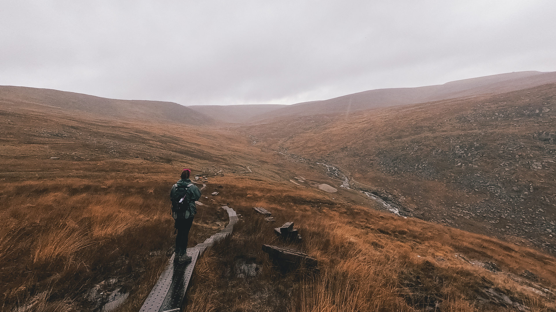
Some more good navigation will be required now to take you back down via Fraughan Rock Glen. This hanging valley trends to the NE and brings you to the top of a river which descends steeply (almost a waterfall) and back onto the forest track. Descend along the NW side or left-hand side as you are looking down.
You can then follow the forest track, back out to the hostel you passed at the beginning of the day.
Total Distance: 17km
Total Height Gain: 900m
Estimated time: 6.5 -8 hours
Cill Mhaintáin Base Camp
Start Crone wood – GR 191142
Finish Glenmalure Lodge – 105908
This one requires a shuttle as it is best not to leave a car overnight at Crone Wood.
It is a 2-day route and involves an overnight camp at a hut on Paddock Hill close to Glendalough. It follows the Wicklow Way throughout and is easily navigated following the little yellow hikers on wooden posts along the way.
There is no need to book the hut as it is an open fronted shelter with fire pits and a perfect way to test your camp skills without having to carry a tent. You will need a sleeping bag and a midge net as well as food for 2 days and cooking equipment.
You will pass a shop early on day 2 for resupply of water or bring filtration with you to treat water from streams along the way.
Extra clothing and warm layers will be needed at night time so your packing will be important. This will give you a chance to test layering systems, find out what you use and don’t use and will give you some indication what it’s like to carry a heavier pack for two days.
You should be able to get everything you need into a 30 – 35-litre bag and the weight shouldn’t be more than 12kg. Try packing your bag a few days before you set off to get it right.
On the trail, you will figure out fast which bits you need at the top of your bag and develop a routine for getting organized. If you haven’t camped for years this a skill people lack when getting ready each morning while on an expedition and can become frustrating for you trying to be ready on time to hit the trail.
Do purchase a Wicklow Way guide before setting off to show the exact location of the hut and route.
It is a very good indicator of your fitness level also.
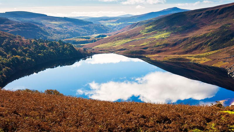
The route brings you past some of the nicest scenery in Wicklow going past Powerscourt Waterfall, Lough Tay, Glendalough and Glenmalure. Enjoy a well-earned dinner and pint at the Glenmalure Lodge at your finish point.
Distance – Day 1
20km to hut at – GR 149995
Estimated time 6-7 hours
Distance – Day 2
15km to Glenmalure Lodge – GR 105908
Estimated time 5-6 hours
Aaron runs training days and weekends and should you want to hire his services you can reach him on aaron@mountainexped.com.
___________________________________________________________________________________________________
If you are interested in joining us on one of our expeditions, contact us today!